St James Walkway to Boyle Flat Hut
June 6, 2021
- Distance
- 28.0 km
- Vertical gain
- 822m
- Duration
- 1d3h43m
Map is loading
Heavy flooding in mid Canterbury had closed Wharfedale Track (our plan A), so we had to quickly plan an overnighter. We headed a couple of hours north to Lewis Pass in hopes of avoiding flooding. St James Walkway is a 66km trail so we opted to just do the Southernmost leg, to and from Boyle Flat Hut.
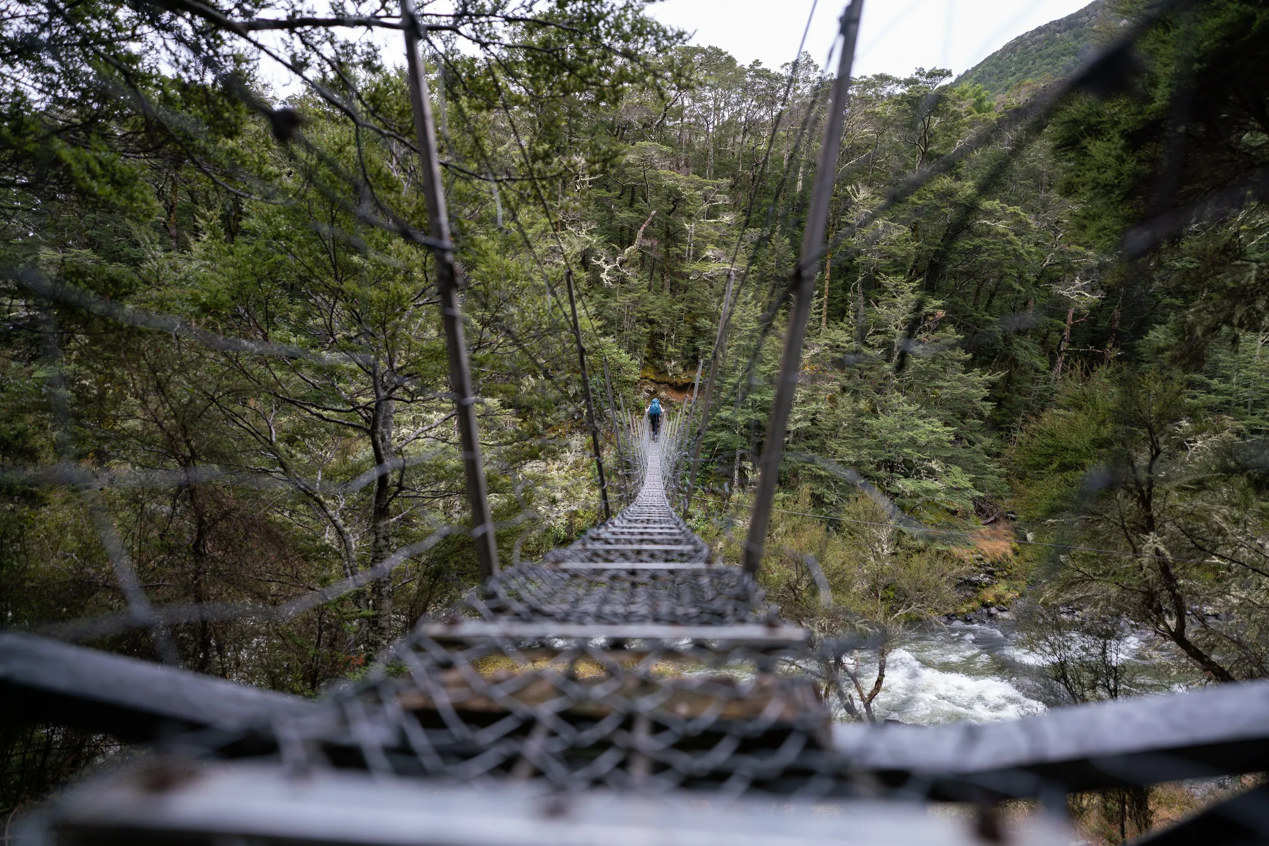
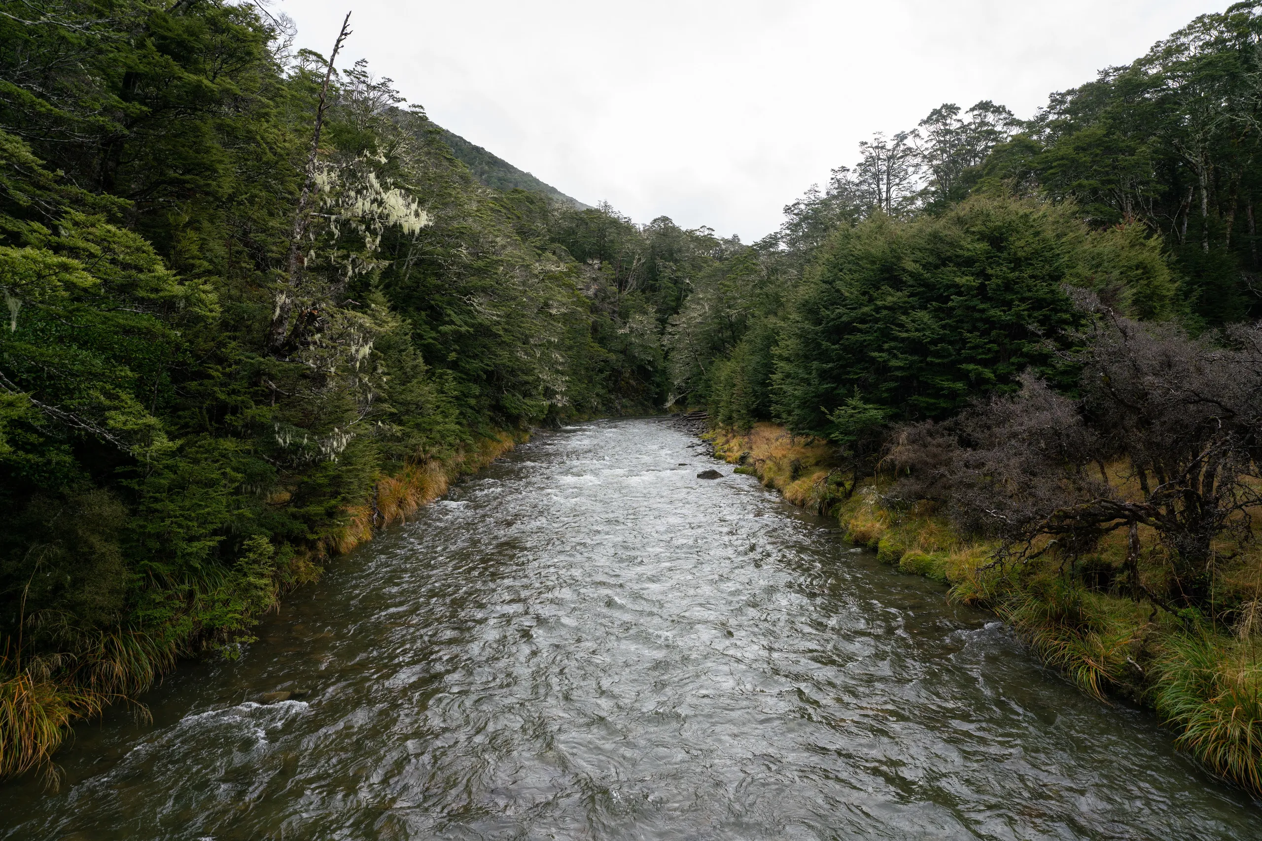
A big benefit of this section of trail is that the three major river crossings are bridged. It’s clear the waters were higher than usual.
A highlight of the hut were the new memory foam mattresses—a clear upgrade from the old ones—which made for a great night’s sleep.
Appendix: Fungi
Here are some neat fungi which we spotted beside the trail.